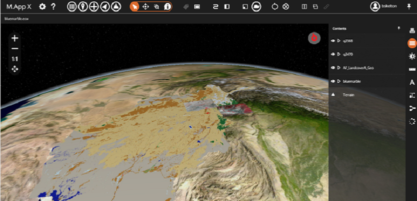
M.App X is a Game Changer for the GIS Community
Does your organisation work with geospatial imagery to gain insight and make key decisions? Are you managing multiple workstations using inconsistent software versions, which makes collaborating, viewing and sharing information difficult? What if you had a solution that provided colleagues in the field and decision makers throughout the organisation with instant access to the latest information, sharing the same view? What if you could reduce administrative costs and solve the problem of maintaining software updates on multiple devices?
Partner with Hexagon and get the power of a remote sensing application in your browser. M.App X is a cloud-deployable enterprise solution that analyses and presents situational imagery, and enables common usage and secure sharing of data, making up-to-date information accessible and reusable.
Using the most advanced web technology, the M.App X environment delivers desktop-like performance and real-life visualisations through an easy-to-use interface. It offers:
- Multiple options for reporting and presenting information clearly and easily
- Dynamic image adjustment
- Precise measurements
- Ability to combine electro-optical and radar data
- On-the-fly image orthorectification
- Extensible geoprocessing
- And much more

