Spatial Modeling for Wildlife Applications Using FLIR Imagery and ERDAS IMAGINE Webinar
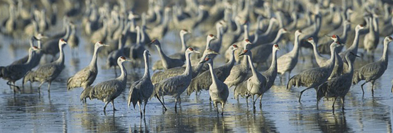
Wildlife biologists are often tasked with providing population counts. This can be extremely tedious and labor intensive. Combining thermal imagery with spatial modeling provides a simple solution to this task.
In this session, learn how this alternative approach provides a quick answer, so you can focus on more important work.
Join Jeff Van de Vaarst, technical consultant for Hexagon US Federal, to learn about:
- What type of imagery is optimal for counting populations
- How to interpret the imagery
- How to build a spatial model that can quickly provide population counts
- How spatial models can be used by a multitude of people without any programming experience
Presenter
Jeff Van de Vaarst | Executive Systems Consultant
Upon graduation from Iowa State University with a degree in Forestry, Jeff enlisted in the US Army and spent the next 21 years as a geospatial analyst. In addition to tours both stateside and overseas deployments, he was selected as the chief instructor for the Defense Mapping School, a precursor to the NGA College. Jeff joined the Hexagon family in 2004, and serves as the primary technical customer point of contact for the US Federal and Department of Defense communities.

