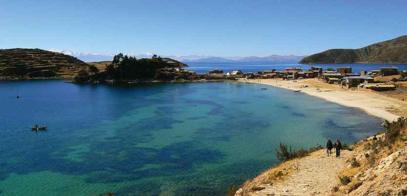
Lake Titicaca Monitored by ERDAS APOLLO
HxGN LIVE 2018 Geospatial Education Contest honorable mention, Javier Nunez of UMSA explains how he and his students are using ERDAS APOLLO to catalog geospatial data around Lake Titicaca. The cataloging capabilities of ERDAS APOLLO's server, along with the search and discovery capabilities of the Geospatial Portal help to solve big data issues.
Finding the exact data you need, when you need it, and being able to visualize, analyze, or consume it in any OGC compliant application is critical in efficient disaster management and change detection workflows in this area of Bolivia. Javier’s project is an excellent example of how research and academia can be used in conjunction to solve today’s critical real world issues.
Watch the webcast to learn more about how Javier is using Hexagon Geospatial technology in his research.

