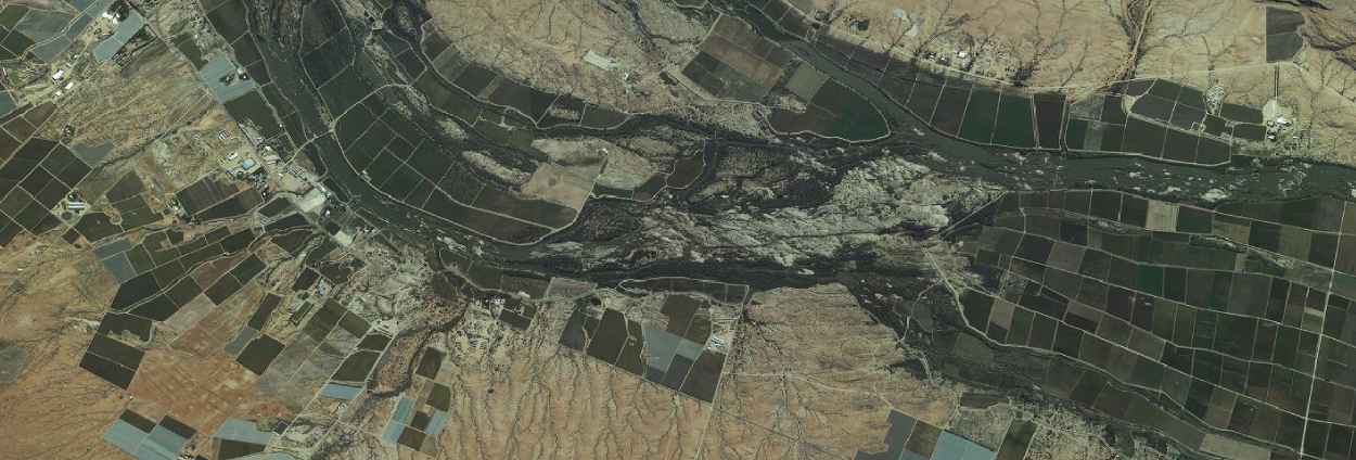
Compress Terabyte-Sized Imagery into a Single Source of Truth
A leading digital aerial photography and GIS/GPS/remote sensing solution provider in Southern Africa, GeoSpace International collects terabytes of imagery of the entire country of South Africa. This staggering amount of data causes both storage and management problems. Using compression technology from Hexagon, they compressed 46,000 image files into one mosaic file. This single 50-cm resolution base map of South Africa streams daily to thousands of users, providing a single source of truth to multiple agencies.
Learn more about GeoSpace International by downloading the case study.

